|
Rufous
Hummingbird Map Questions
(Teachers:
Map is hotlinked for larger projection on smartboard or screen.)
|
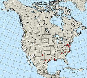
| It
looks like the leading edge of the rufous migration is stalled
around the Canadian border. Cold weather that affects food sources
might be the culprit. But other factors could affect how
the migration appears on our maps. Remember to always ask questions
about data! Take a look at today's rufous map (below, left). Then
look at the map on the right. It shows the location of journey north
observers on the West Coast.* |
| 
Rufous Hummingbird Map 3/19/09
|
|
| What
patterns do you notice? |
| Can
you list another reason (besides weather) why the rufous migration
might appear to be stuck? |
* This map shows the locations of Journey North observers in 1999. Many
more students and other citizen scientists participate today, but the
general distribution pattern is similar!
|

