 |
 |
November
20, 2004
Migration Day 42
Going Nowhere
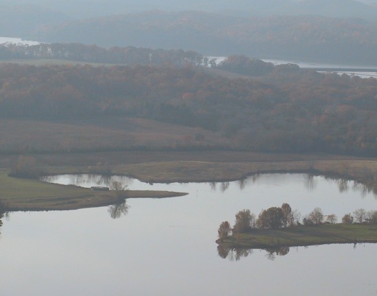 |
Pen
site in Meigs County, Tennessee. Photo OM |
The team is standing down today under full Instrument Flight Rules (IFR).
It's 50 degrees and calm, but clouds make visibility so poor that pilots
cannot fly safely by their vision alone. These conditions cover all of
southeast Tennessee and north Georgia. So. . .they'll spend another day
at Hiwassee State Wildlife Refuge iin Meigs County, TN.
|
Map
the Migration |
|

Try This! Journaling Question
-
Speaking of instruments, the ultralights are equipped with vertical speed indicators. "With full power the airplanes can climb at 750 to 1000 feet per minute," says OM pilot Joe Duff, "but the birds can only climb about 100 feet per minute." Getting them up to 4000 feet takes a long time and uses a lot of their energy." How long might it take the birds to climb up to 4000 feet so they can safely clear the mountain ridges on this part of the migration route?
Journey North is pleased to feature this educational
adventure made possible by the
Whooping Crane Eastern Partnership (WCEP).
Copyright
2004 Journey North. All Rights Reserved.
Please send all questions, comments, and suggestions to our feedback form