
Background
"The seasons, like great tides, ebb and flow across the continents. Spring advances up the United States at the average rate of about 15 miles a day. It ascends mountainsides at the rate of about a hundred feet a day. It sweeps ahead like a flood of water, racing down the long valleys, creeping up hillsides in a rising tide."
So begins the book, North With the Spring (St. Martin's Press, 1951), by Pulitzer Prize winning author and naturalist Edwin Way Teale. One spring in the 1950's, Teale criss-crossed the United States on a 17,000 miles journey north with the season. The trip is described beautifully in his book.
How long do you suppose it will take the spring of 1997 to cross the continent? Imagine counting the days, in 15 mile/day intervals, as spring travels northward from one school garden to the next. The lesson below should be conduced at least twice during the year. Each time, students can predict the date tulips will bloom:
Students will enjoy noting how their predictions improve as they learn about:
Materials:
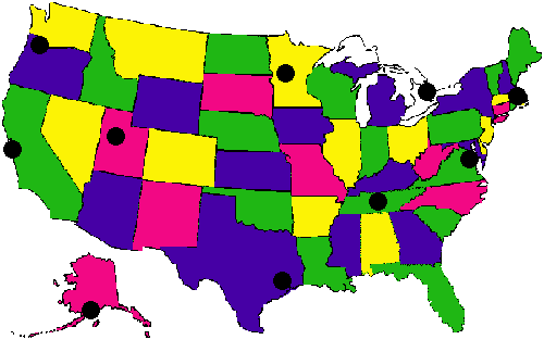
1. Wall map of North America
2. Post-it notes (or blank mailing labels, or slips of paper and tape
)
3. Graph paper
4. Crayons, markers, or colored pencils
Activity
:
This activity should first be done before planting your garden and even before the planting instructions are reviewed. The second prediction can be made early next spring, before tulips bloom anywhere in North America.
Predictions should be revisited and revised throughout the spring months, as new information becomes available to students.
Part I: Making Predictions
1. Organize your class in pairs or groups of four. Play up the fun of making a prediction before collecting information. Students will discover how much they have learned during the year. They can gather the information they need to refine their hypotheses and make a second prediction.
2. Each group or team should predict the date they think tulips will bloom:
Give student groups a copy of the map. Have each group record their reasons for guessing as they have.
3. Students can use "post-it" notes (or other labels) to record the date guessed for each of the 10 sites. After all predictions have been made, students can post them on the map of North America.
Part II: Graphing
1. The following graph should be drawn on the board or on a large piece of tag board. Students can post their dates in the proper area of the class graph.
| Feb | March | April | May | June | |
| Anchorage, Alaska | |||||
| Palo Alto, California | |||||
| Washington, D.C. | |||||
| Boston, Massachusetts | |||||
| Mahnomen, Minnesota | |||||
| Mississauga, Ontario | |||||
| Portland, Oregon | |||||
| Nashville, Tennessee | |||||
| Houston, Texas | |||||
| Salt Lake City, Utah |
2. Next, each student or group should calculate the average date your class guessed for each city.
3. These graphs & estimates should be saved for use next spring when students are given additional opportunities to make predictions. The data can also be exchanged with a partner school as discussed below.
Discussion Questions :
2. Before selecting a school to contact, ask your students to consider these things:
3. If students choose to exchange data & predictions from this lesson, ask them:
© Journey North 1996