How
Does a Migration Move Forward?
Analyzing the Rate of Travel and What Might Affect It |
||
|
|
||
| Time:
ongoing as updates are posted Materials: large map for tracking migration, climate map printouts (for day of each migration update) |
Background
Migrating animals travel at very different average rates. A bog turtle
might travel just 56 feet in a day, but a monarch might fly 40 to 100
miles a day! For each species, many factors influence how far the migration
moves on any given day or week: temperatures and weather fronts, which
can also affect a species' food sources; geographic features; and so on.
Invite your young scientists to measure the migration rate of your Journey
North species and hypothesize what might affect it.
Laying
the Groundwork
Tell students that humans generally walk about 3 or 4 miles an hour. Ask,
If we were to walk during 10 hours of daylight, how far would we get?
What might affect our speed and distance? Challenge students to predict
about how far their selected species will migrate, on average, during
a day. Ask, What factors do you think might affect their travels?
Have them share the thinking behind their predictions, or write these
explanations in journals.
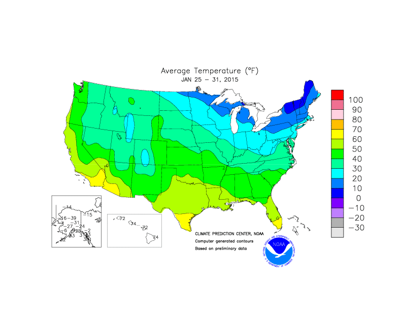 Average
Temperatures
Average
Temperatures (last week) |
Exploration
- As students
receive records from Journey North, they should put stickers on a large
map to indicate where in each state/province an animal was sighted.
Record the date on the face of the sticker.
If students suggest that a factor such as temperature affects the speed of migrations, print out the past week's average temperature map when each update is posted. (You can also print out a minimum temperature map or look at other weather factors such as wind speed.)
- After
they've received the first 10 or so records from each state/province,
they can calculate an "average first arrival date" for that
place.
- As the
season progresses, students should find places that have the same average
first arrival date and draw lines on their maps to connect these places.
Each of the wavy lines is known as an isopleth. An isopleth
is a line on a map connecting points at which a given variable has a
specified, constant value. For instance, a given variable would be the
first monarch and the constant value would be a certain date.
- As they
review their maps, ask, What patterns do you notice? What general
statement can you make about migrations? If you printed climate
maps (or plant hardiness zone maps), have students compare these to
their migration map. What factors do you think cause our migrating
animals to arrive at a location at about the same time? What
questions do you have?
- Finally, at the end of the season, students should measure the distances between the waves and determine how to complete this sentence:
The _________ migration advances at the average rate of _____ miles per day. (They can also calculate its rate per week.)
Making Connections — Discussion and Journaling Questions
- What general direction did the migration appear to move? Was it a direct progression? If not, how would you describe it?
- Did anything surprise you? Describe it. How would you explain it?
- Did the migration move the same distance during each 1- or 2-week period? What do you think might have influenced how far it moved? Explain your reasoning. How might we test your hypotheses?
Assessment
Check the accuracy of students' math calculations. Check that they use
evidence from their maps to make reasonable inferences, hypotheses, and
generalizations.
© 1997 – 2025 Journey North. All rights reserved.