![]()
Teaching Suggestions
Maps: Tools for Predicting When Your Garden Will Emerge
(Back to Slideshow Overview)
| Introduction | |||||||||
Maps are like treasure chests; they are filled with jewels of information about climate, geography, weather, temperature and historical data. Use maps to help predict when gardens emerge. Each kind of map gives us a piece of the puzzle. Using the facts and photos in this slideshow, explore this essential question:
|
|||||||||
| Set the Stage for Learning | |||||||||
1. Preview the slideshow. Ask questions to assess prior knowledge:
|
 |
||||||||
| 2. Preview images in
the photo
gallery. On large chart paper, post the essential question: How do maps help predict when gardens will emerge? Have students
make pre-reading predictions based on details they see in the photos. |
 |
||||||||
3. Preview slideshow using the headings handout. Have students predict how the headings may be related to the slideshow title and essential question: How do maps help predict when gardens will emerge?
|
 |
||||||||
| Viewing the Slideshow | |||||||||
As a class, read through the pages of the slideshow together. Stop occasionally to spotlight key words and ideas or ask questions. Encourage students to share their own questions sparked by the information and images. |
|||||||||
| Revisit for Understanding | |||||||||
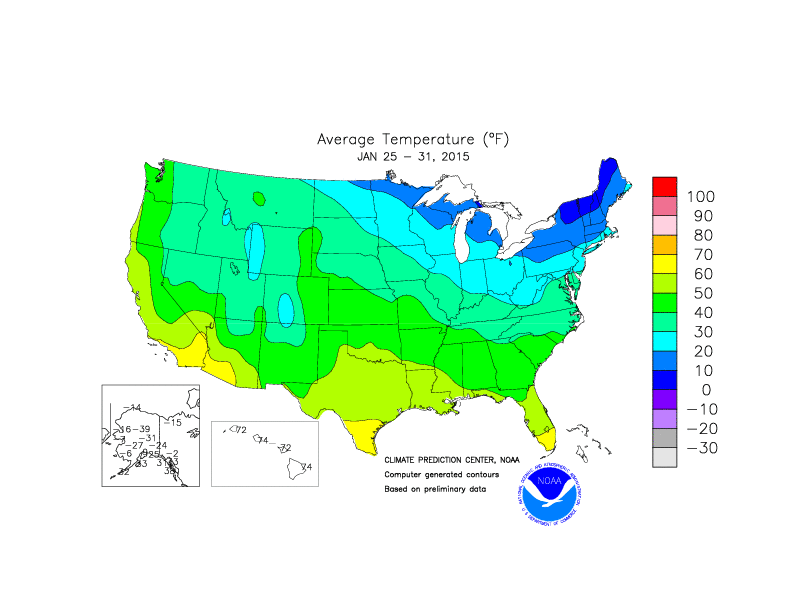
1. Mark up the text. Revisit the essential question: How do maps help predict when gardens will emerge? Have students reread the text-only version of the slideshow with a partner, underlining important ideas and circling key words. Challenge them to use the word cards to summarize main ideas and details. 2. Explore maps to collect relevant data. Use the jigsaw strategy to assign specific locations for small groups to study. Have students examine a variety of maps (see links below) to gather data about an assigned location. As students record data on the map handout, encourage them to ask questions and share discoveries. Have them think about how each of the maps might help them predict when gardens from different places will emerge and bloom. As a class, use the data gathered from the maps to rank order predicted emergence times for each of the assigned locations. Use this timeline to record actual emergence dates as they happen. |
|
||||||||
| Map Links | |||||||||
|
|||||||||


Copyright Journey North (journeynorth.org). All Rights Reserved.