Using Graphs and a Large Map
Marsha Lodge
RHAM
Middle School
Hebron, Connecticut
Organizing
for Mystery Class:
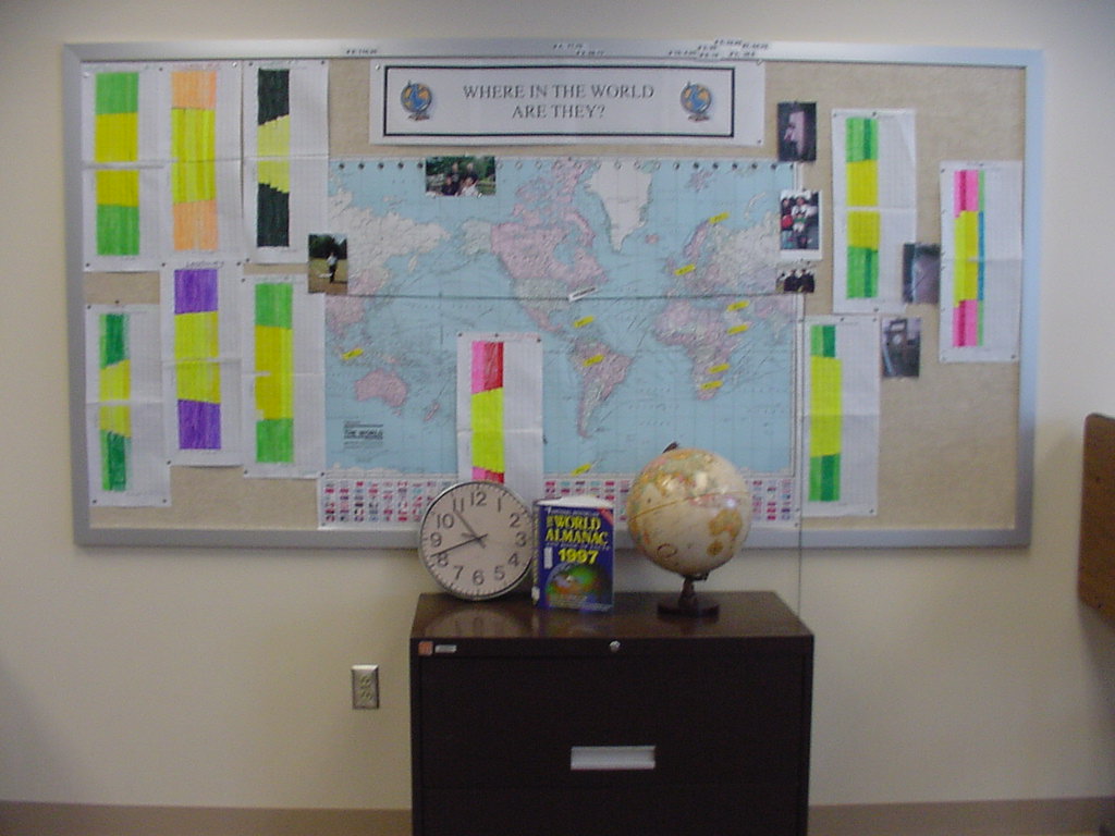
I teach small special education classes in science, math and social studies.
When we come back from winter break in January, each student keeps track of
the increasing sunrise and sunset in our town.
We use the annual graph available on the Journey North website.
Once the mystery class project begins, I assign a mystery location to
each student. From that point on, each student is responsible to graph
and chart their location.
Once the clues are sent out, we all help each other. Once we know our approximate
longitudes, we mark them on the map with stickies that we can move if we need
to. See the picture below:
If
you have tips you'd like to share, please write to Journey North:
jnorth@learner.org
© 1997 – 2025 Journey North. All rights reserved.